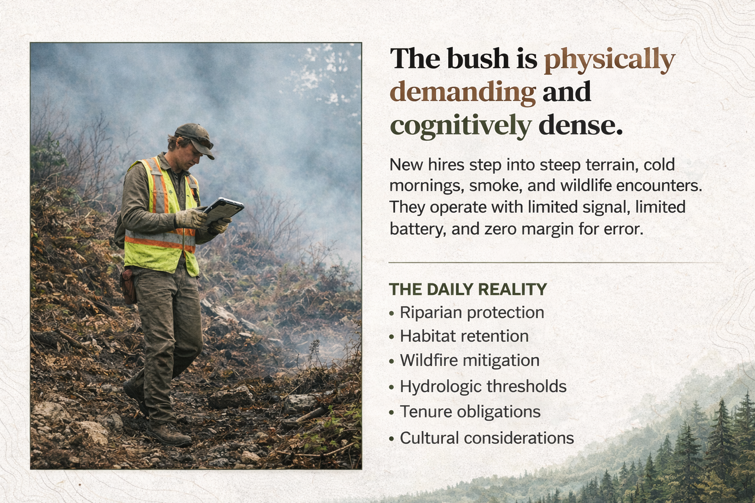
Weather
Field work continues in rain, smoke, cold, and changing conditions. The interface should stay calm and usable when the environment is not.
Riparia is MRF FieldTech’s field-first showcase for stream and water work — designed to support real observations, practical workflows, and defensible records in conditions where signal, time, and terrain are rarely on your side.
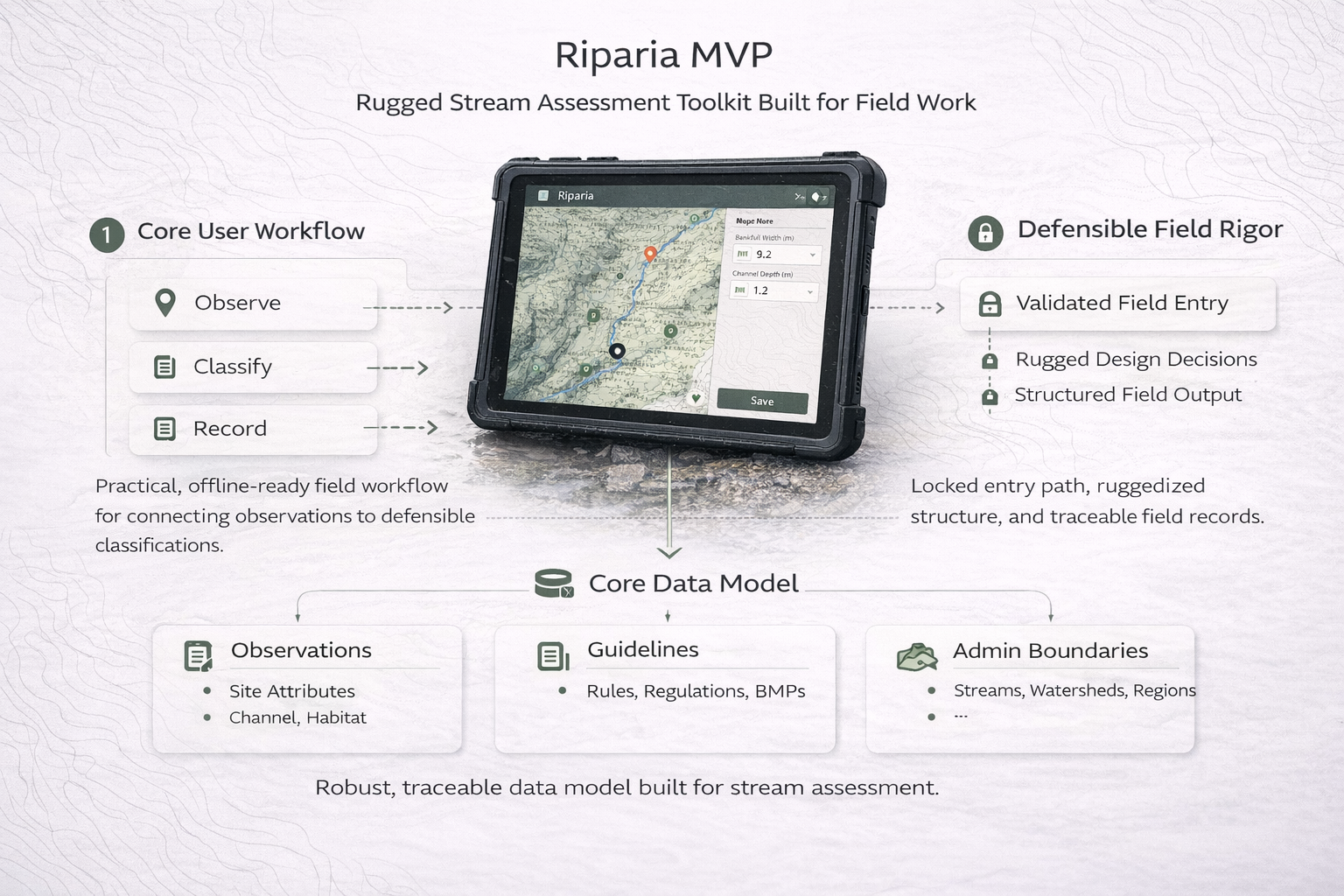
Riparia brings together mapping, guided field capture, and clear records in a way that feels practical on the ground and useful afterward in reporting, review, and handoff.
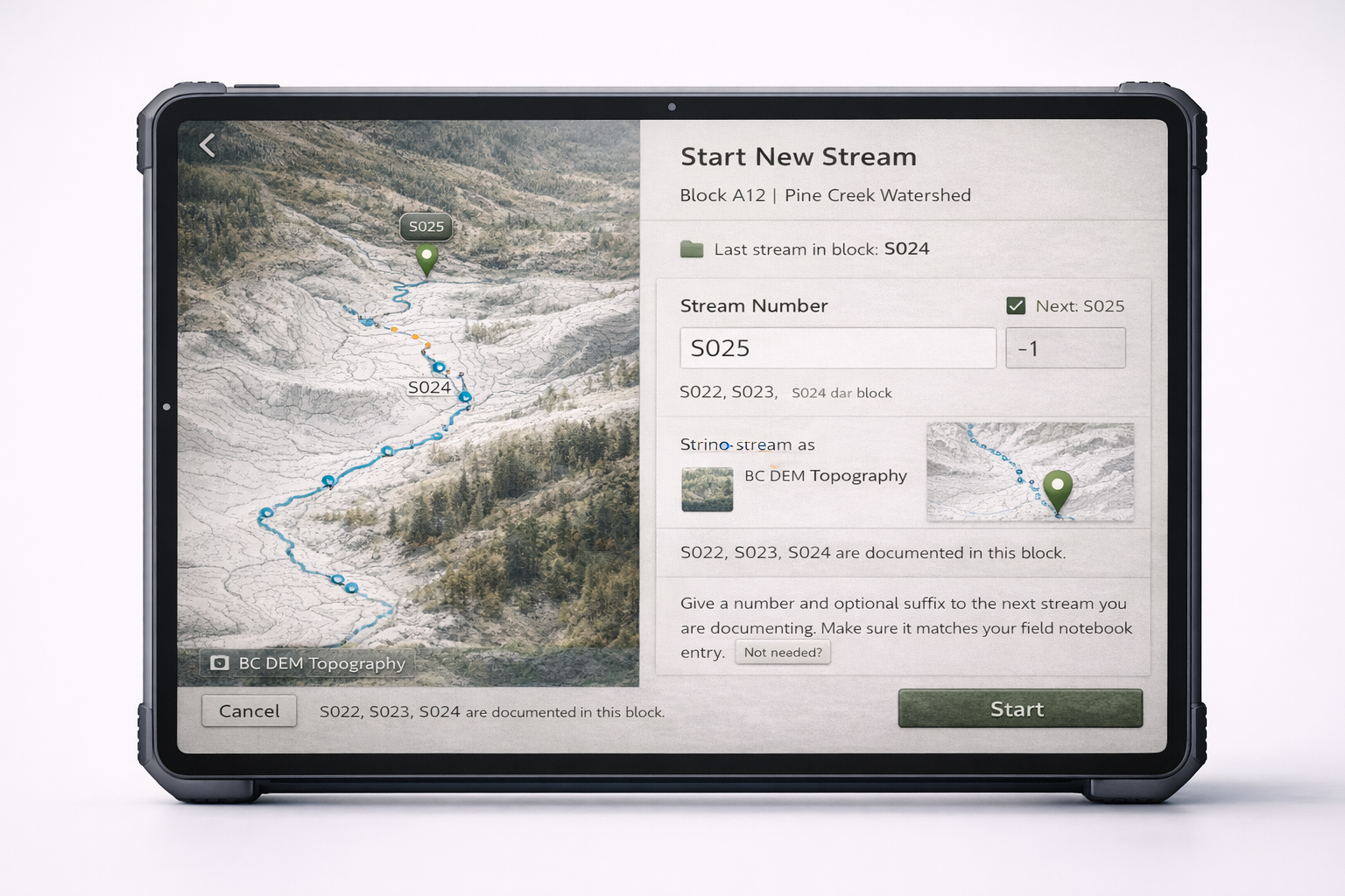
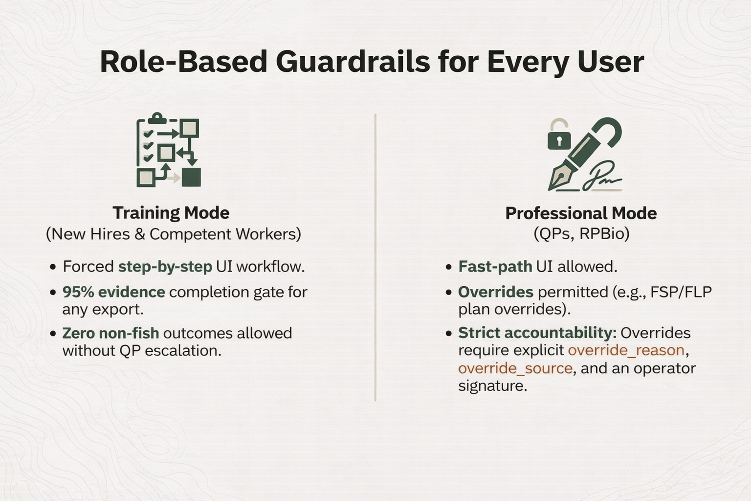
Stream classification connects on-site observations with regulatory frameworks that affect planning, compliance, and stewardship decisions. Most tools were not designed for remote terrain, real weather, or the demands of field work. Riparia was.
Designed around how crews actually work on the land, not around office assumptions.
Supports structured observations and practical review without turning the workflow into a black box.
Connects field observations to records that hold together later in reporting, review, and planning.
Good field software should remain usable when conditions are less than ideal. That means designing for weather, rough terrain, long days, and the practical limits crews work within every day.
Field work continues in rain, smoke, cold, and changing conditions. The interface should stay calm and usable when the environment is not.
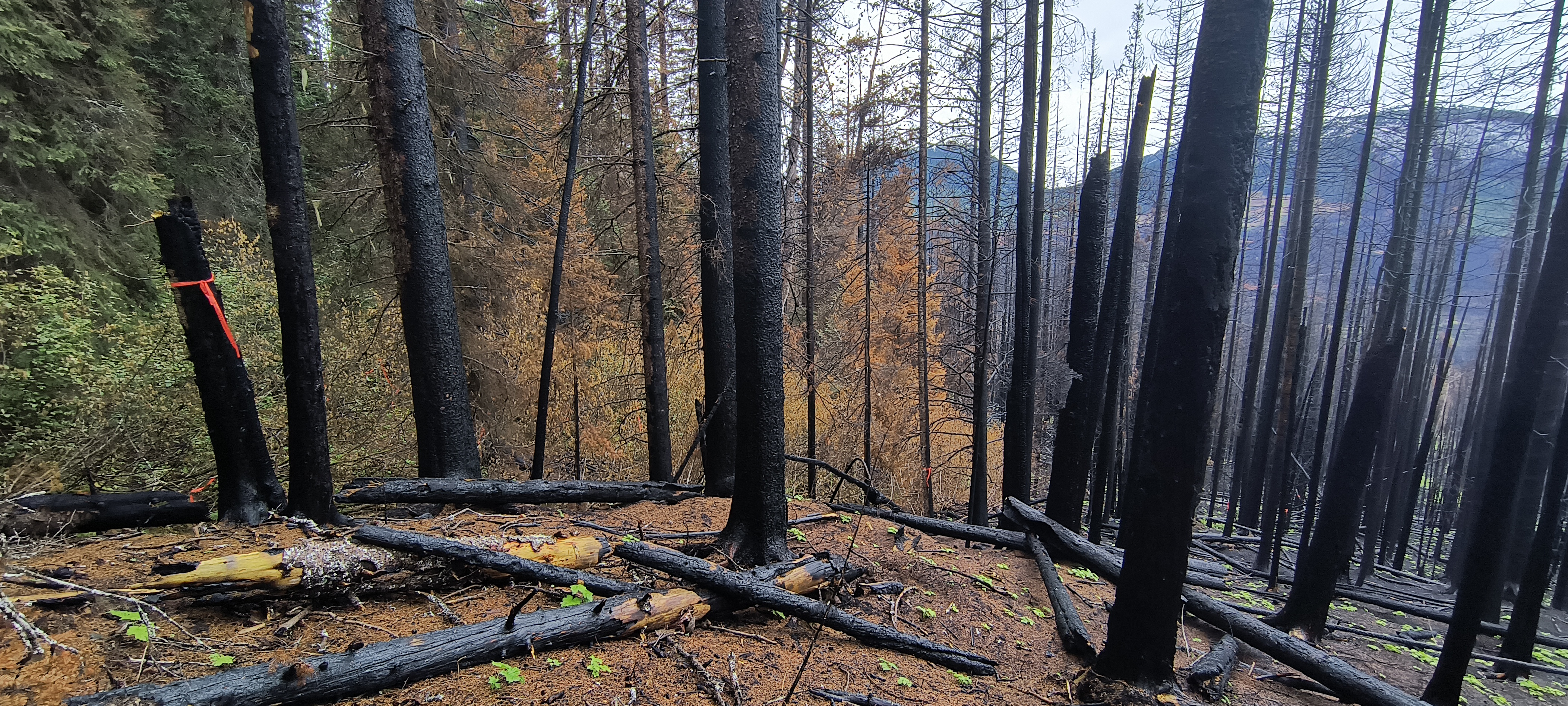
Work often happens where coverage is unreliable or absent. Tools should continue to support the task instead of depending on constant connectivity.
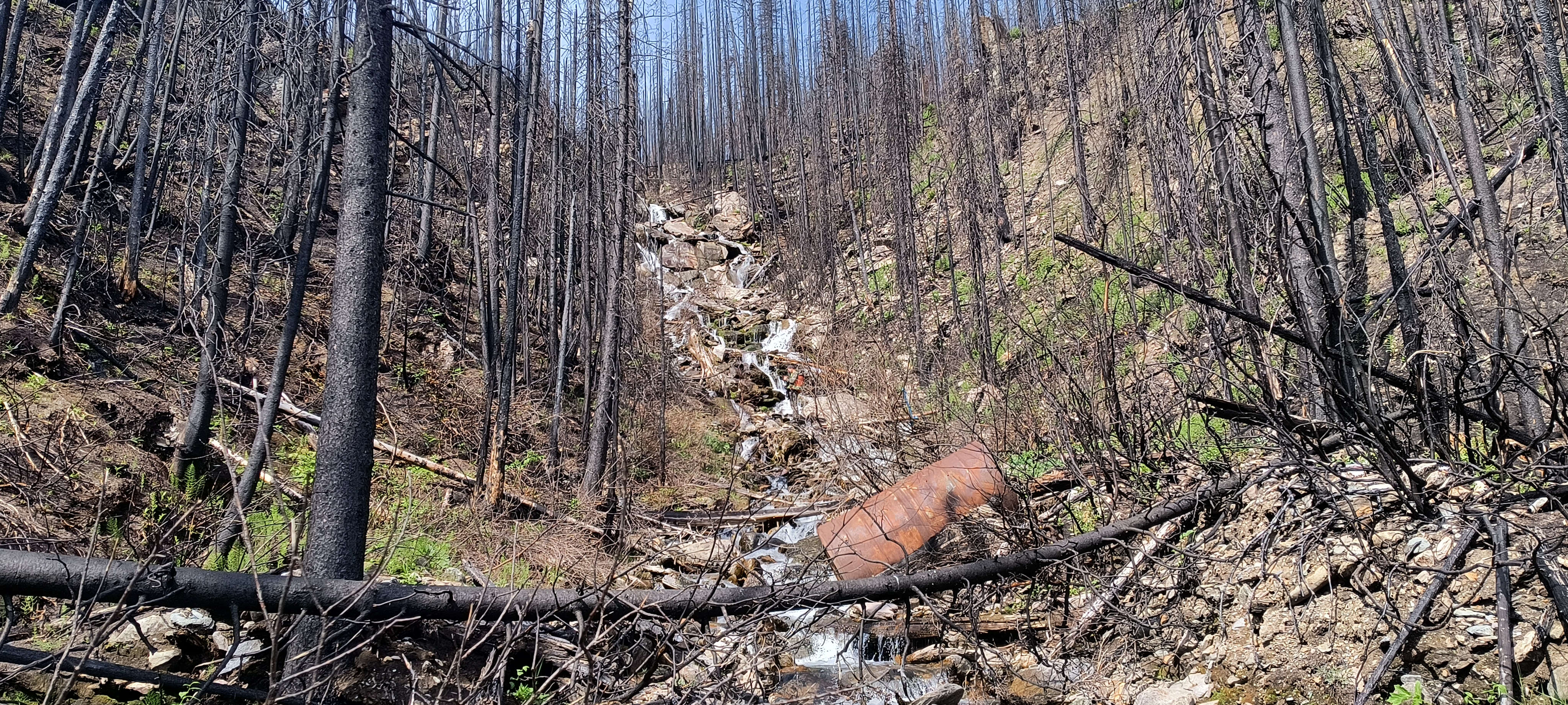
When time and attention are limited, the workflow should remain clear, simple, and focused on what matters most.
Riparia is structured around the sequence crews follow in real conditions: get ready, organize the work, begin the stream, capture observations, then review and export. The goal is not to slow people down. It is to keep the process clear and consistent.
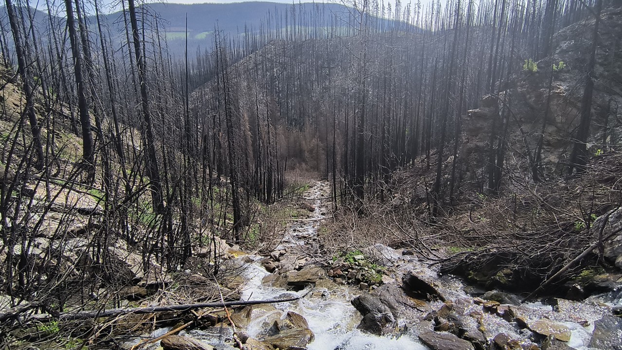
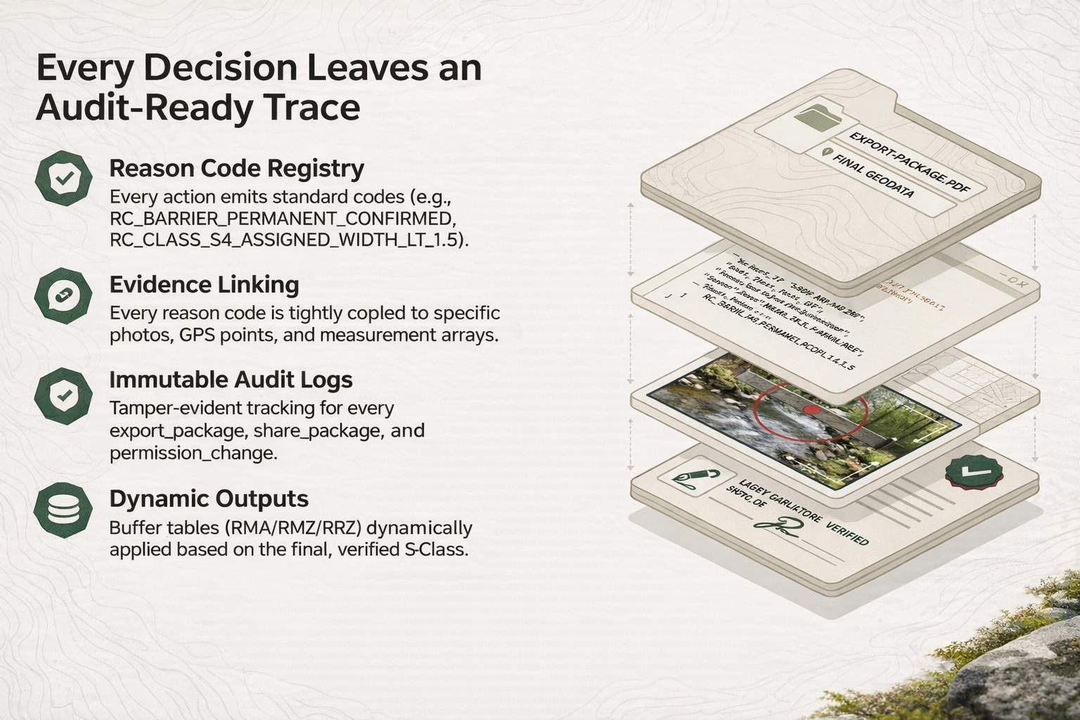
Riparia guides field teams through structured data capture so the records produced in the field remain clear, defensible, and useful long after the work is done.
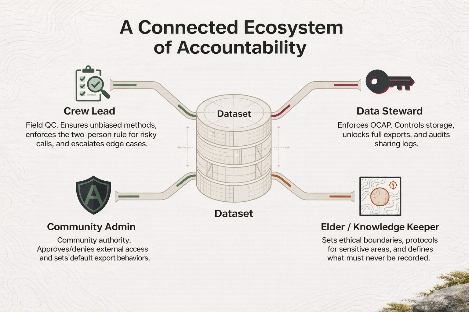
Instead of treating data collection as an afterthought, the system guides crews through a structured workflow that captures observations, measurements, and supporting evidence in a consistent way.
At a high level, Riparia organizes work around streams, assessment points, photos, measurements, breadcrumbs, and reach markers. Presented clearly, that helps people understand the product without getting buried in system detail.
From forestry crews and environmental technicians to land guardians and field biologists, the need is the same: support real field work without burying the user in software. Riparia prioritizes clarity, traceability, and practical decision support so the work on the ground carries forward cleanly.
Interfaces shaped by rough terrain, changing weather, and limited connectivity.
Records that are easier to review, understand, and use later in planning or compliance contexts.
We’re open to conversations with organizations working on the land who want better field tools, clearer workflows, and more dependable field-ready software.